Sunday, April 20, 2025-SW Michigan-Sunny Easter Morning

Currently 41 with an average wind fro,m the NE of 7 mph. Feels like 39 degrees. Dew Point 36, Barometer 30.36, Humidity 81%, Visibility 10 mi., Sunrise 6:53 am, Sunset 8:30 pm
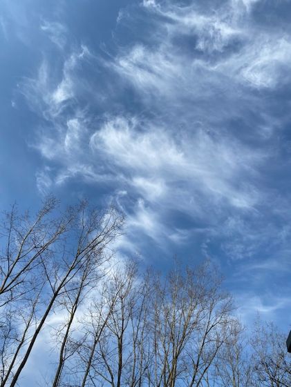
Sunny until midday becoming mostly cloudy with a 20% chance of rain. High in the mid 50s. E winds 5-15 mph with gusts to 30.
90% chance of overnight rain. low in the mid 40s. E winds 10-15 mph with gusts to 30.
Not a bad beginning for our Easter Sunday but look for clouds and the chance for rain later on. Look also for rain tomorrow but that will be followed by a couple days of sunshine as a reward.
Have a blessed Easter.